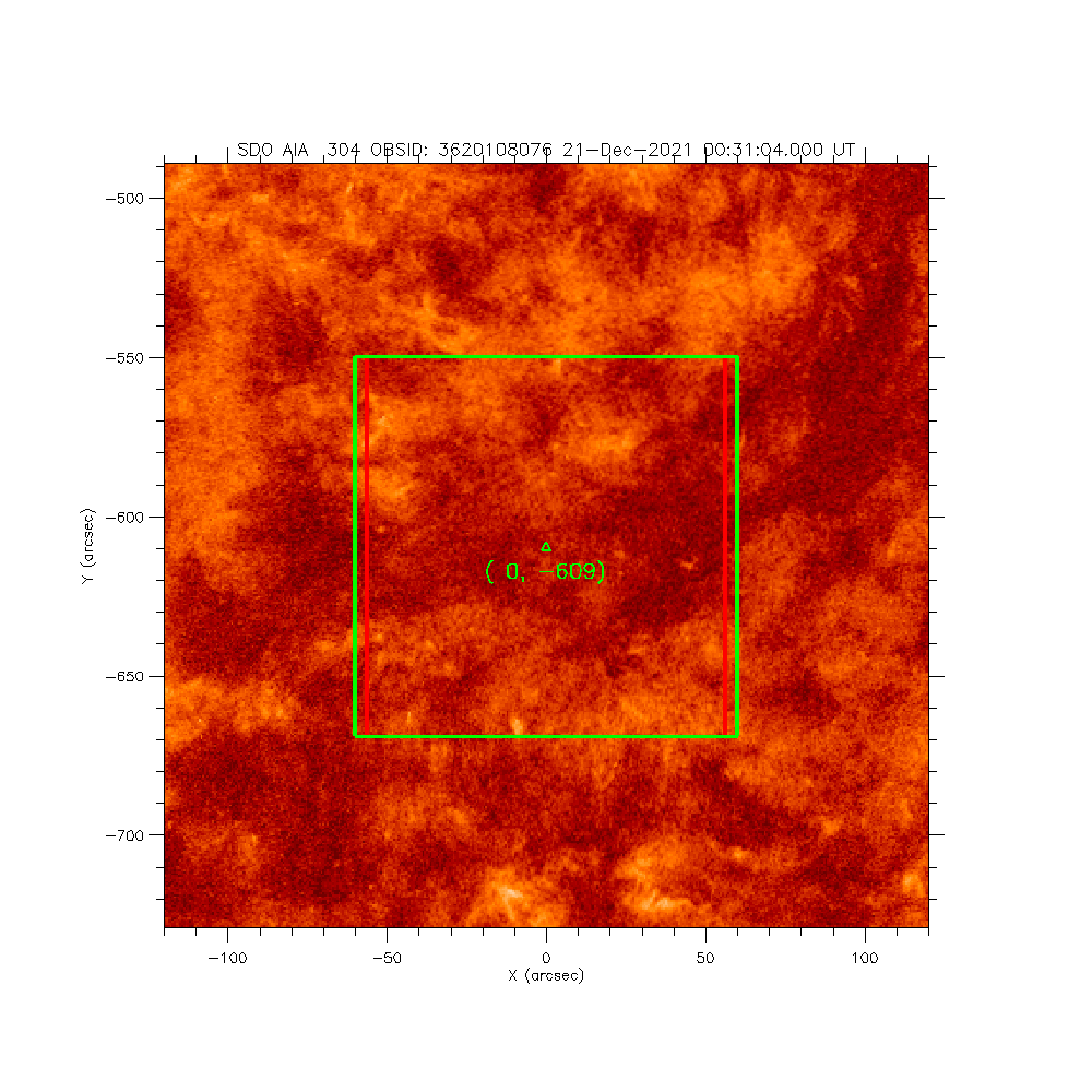
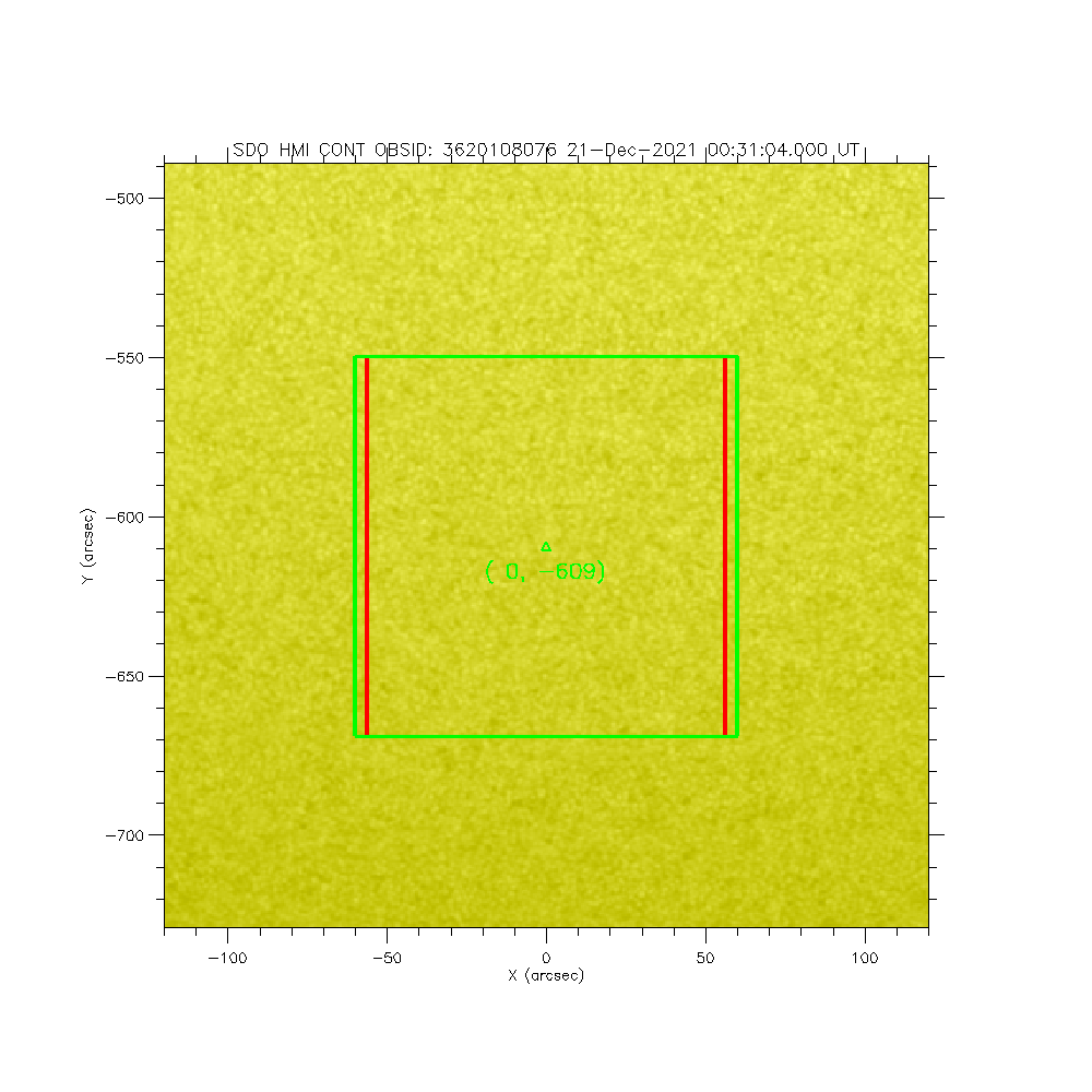
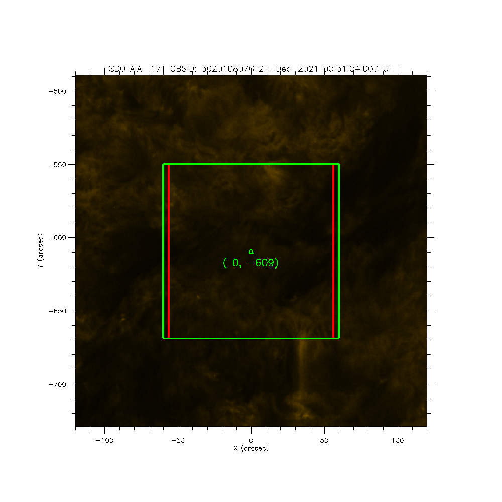
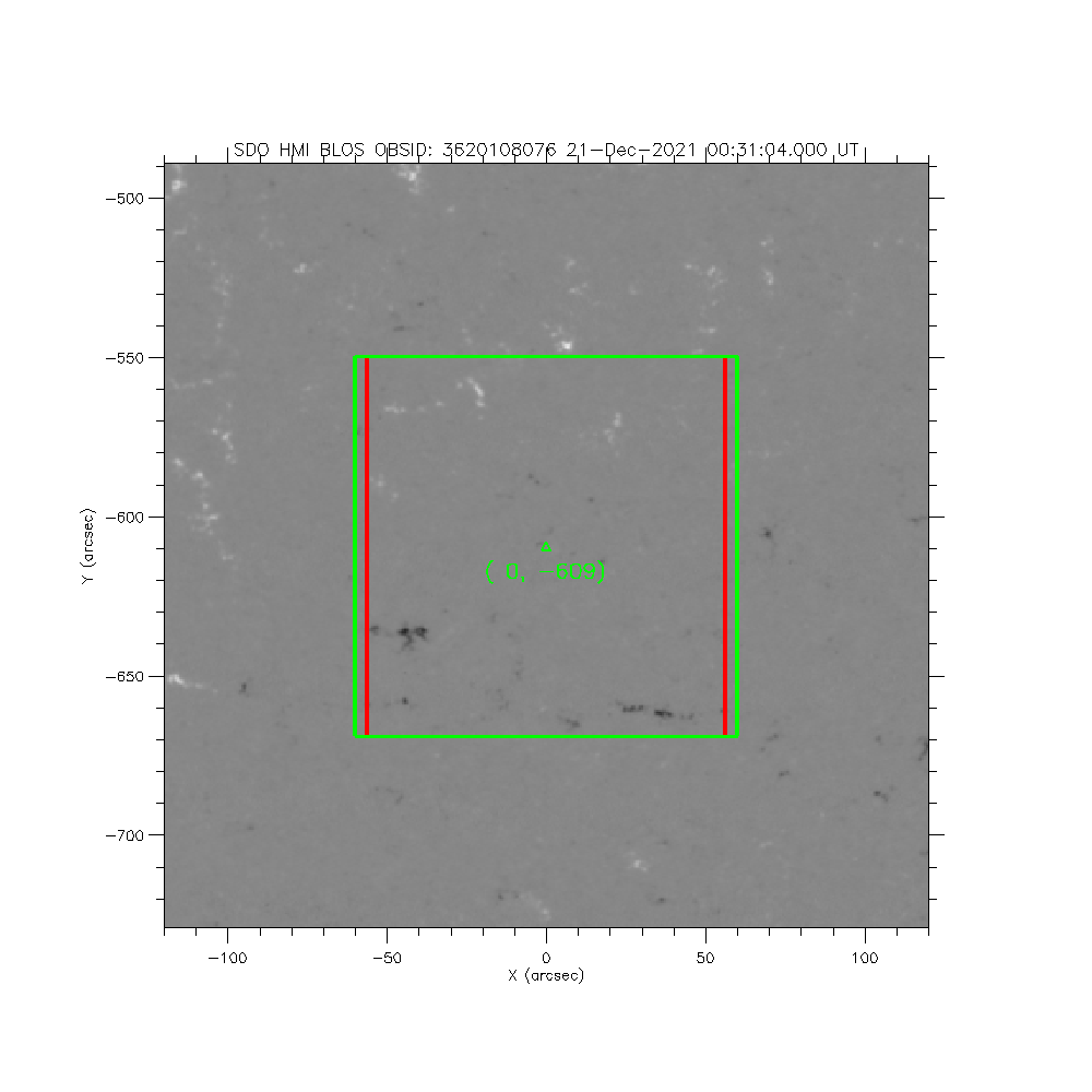
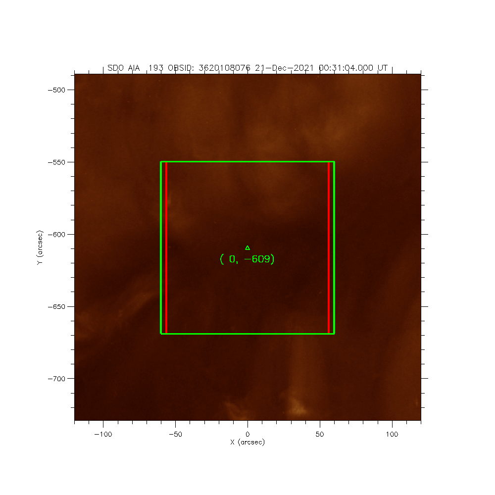
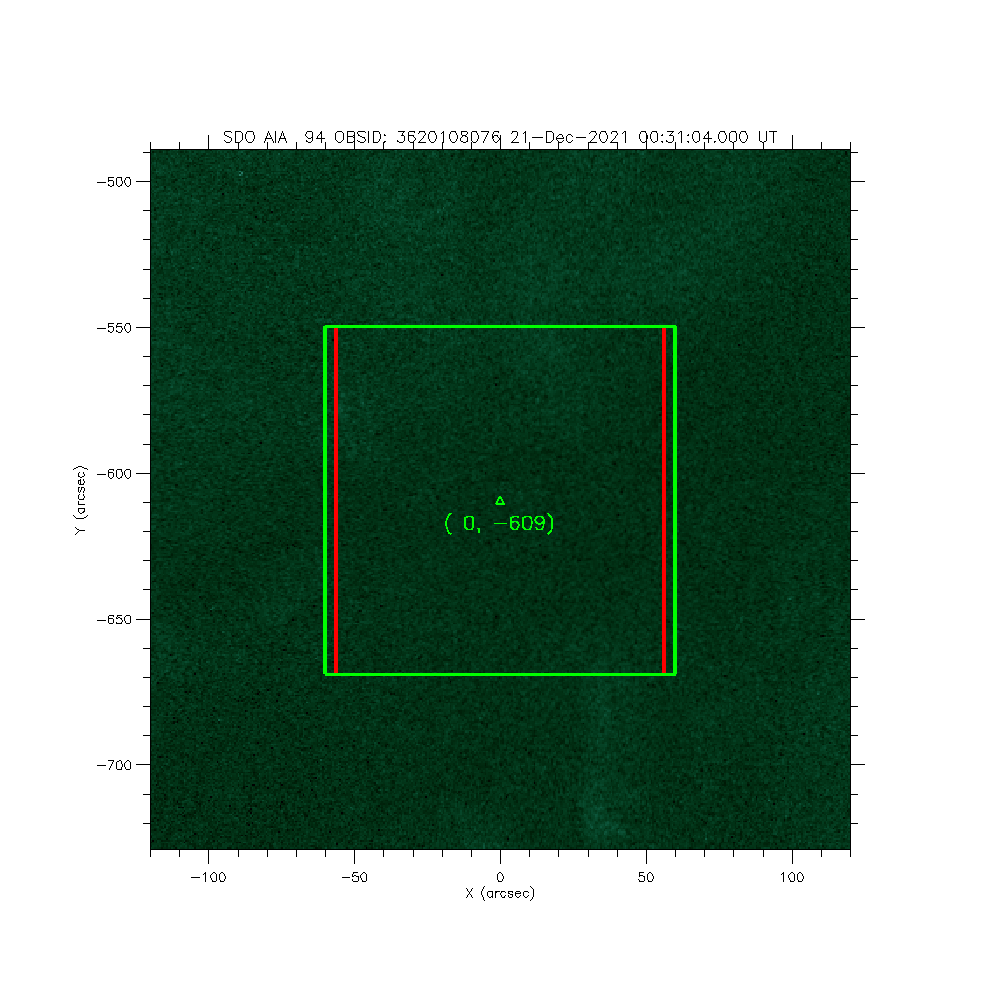
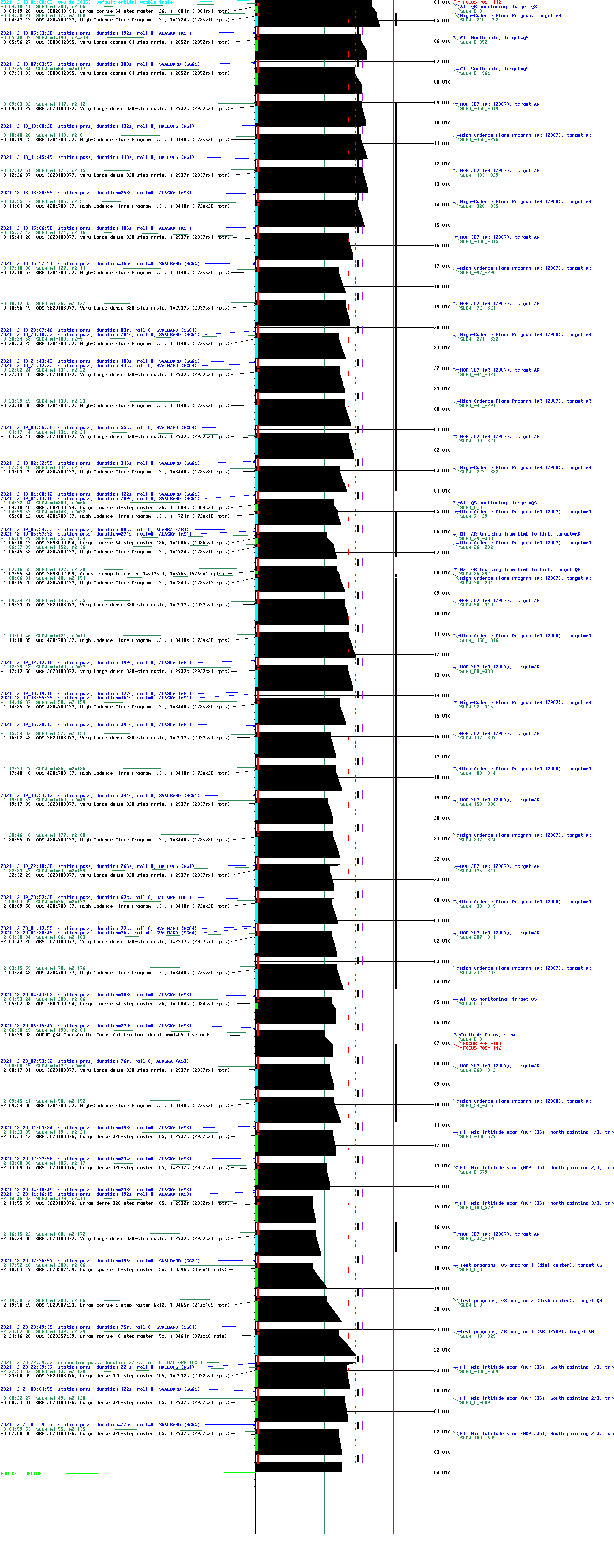
IRIS: F1: Mid latitude scan (HOP 336), South pointing 2/3
2021-12-21T00:31:04 to 2021-12-21T01:19:56
Program: OBS 3620108076: Large dense 320-step raster 105.3x120 320s Deep x 8 Spatial x 2, Spectral x 2
Target: AR
xcen=0 ycen=-609
Instrument: IRIS
Description:
F1: Mid latitude scan (HOP 336), South pointing 2/3
1 repeats of OBSID 3620108076 - Large dense 320-step raster 105.3x120 320s Deep x 8 Spatial x 2, Spectral x 2
IRIS roll: 0.0 degrees
IRIS planner pointing: (0.0 arcsec, -609.0 arcsec)
OBS duration: 2932.1 seconds = 1 repeats x 2932.1 seconds/repeat
OBS data volume: 110.0 megabytes = 879.6 megabits = 2932.1 seconds * 0.3 megabits/second

